
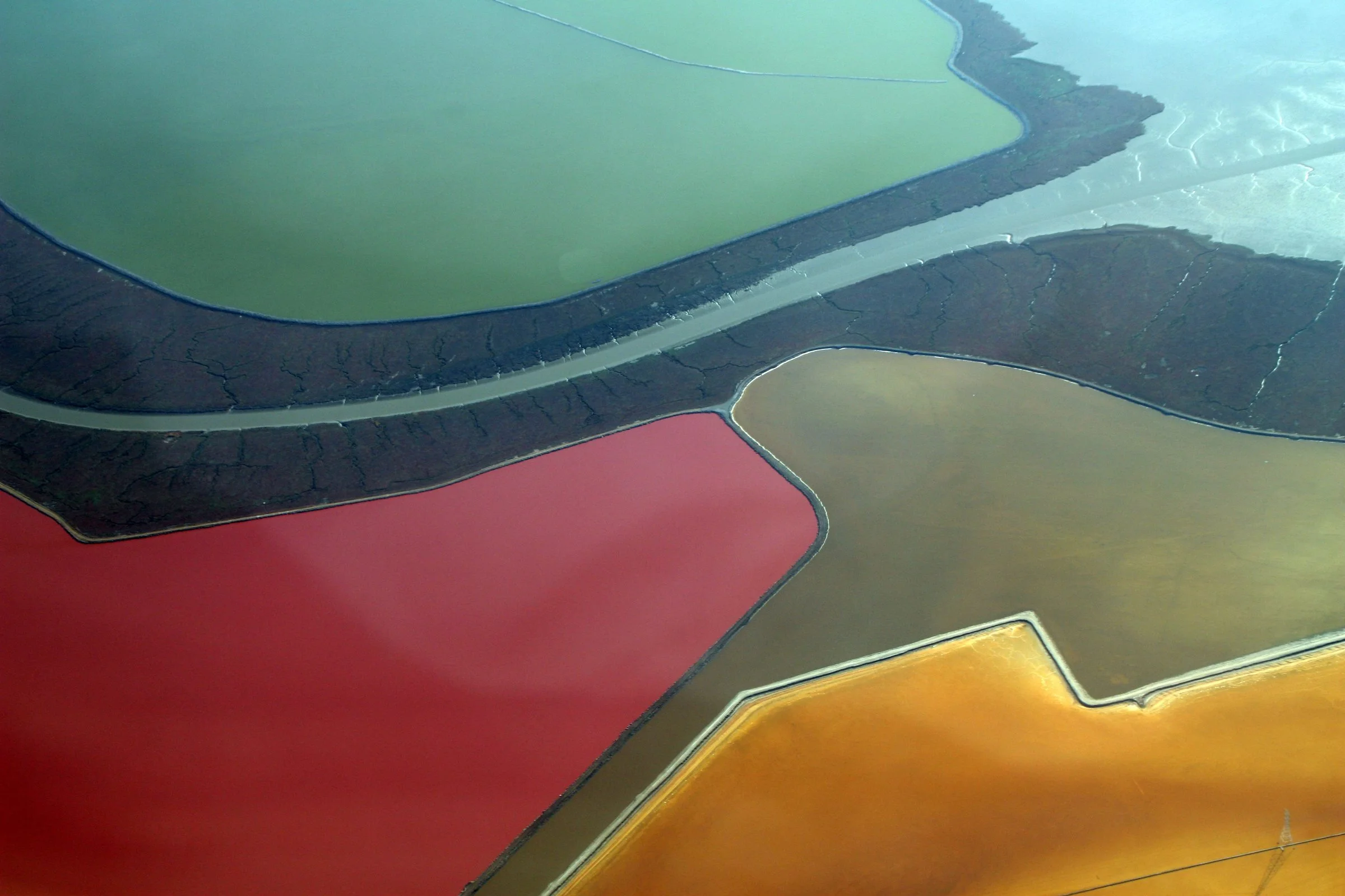
Salt evaporation ponds on the shore of San Francisco Bay, seen from the air in October 2009. Microorganisms tint the ponds as the water evaporates. — Photo: Doc Searls / Wikimedia Commons, CC BY 2.0
California now requires every city and county on San Francisco Bay to plan for rising water. Along the South Bay, part of the answer is already taking shape: levees are being opened, and former salt ponds are turning back into tidal marsh on the shore of the Muwekma Ohlone homeland.
By Muwekma Ohlone Preservation Foundation · October 22, 2026
This past winter, crews in Mountain View cut openings in the levees around a 435-acre former salt pond called A2W and let San Francisco Bay flow in. The pond sits in the Don Edwards San Francisco Bay National Wildlife Refuge, next to the city’s Shoreline Park. The $20 million project also built a 1.2-mile trail, five bird nesting islands and a half-mile habitat slope, a gentle ramp of earth that connects marsh to upland. The project’s partners announced the breach on Feb. 2, 2026. Over time, the tides are expected to turn the pond back into marsh.
“With this major milestone, the ambitious 50-year effort to restore the South Bay’s wetlands has now opened more than 3,700 acres, over 25% of the total 15,000-acre Restoration Project area, to the Bay,” said Amy Hutzel, executive officer of the California State Coastal Conservancy.
Seven months later, on Sept. 17, staff at the San Francisco Bay Conservation and Development Commission, the state agency that regulates the Bay shoreline, told commissioners how the region was doing on a bigger task. Under state law, 51 Bay Area cities and counties must write plans for adapting to sea-level rise. Twelve had formally started. The deadline is Jan. 1, 2034.
These two stories are usually told apart, one about wildlife and one about planning. They are the same story. The South Bay shoreline, the edge of the homeland of the Muwekma Ohlone Tribe, is where the Bay Area is learning what it can protect, what it should let go, and how much of the old edge of the Bay can come back.
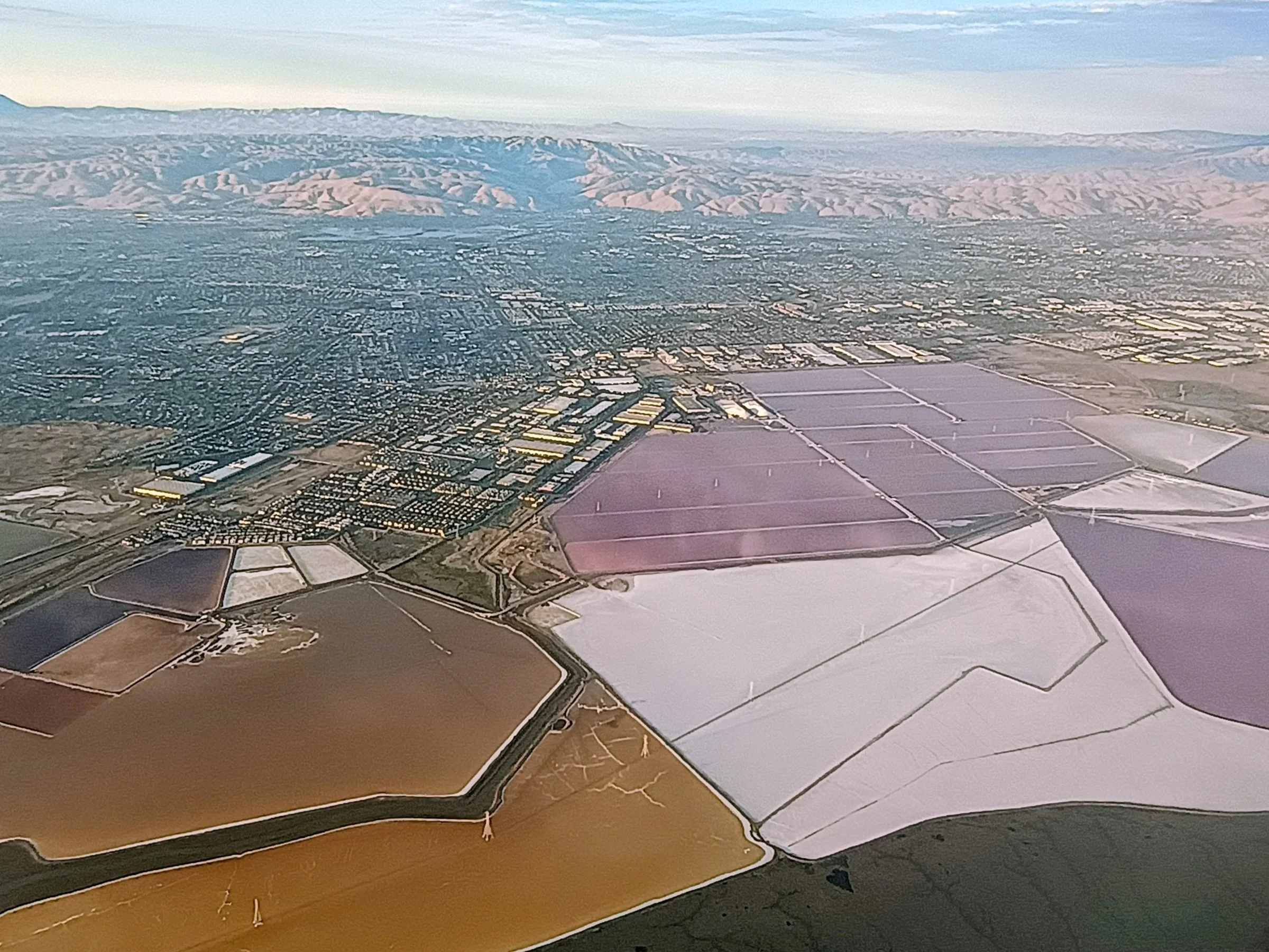
Salt ponds in the South Bay, looking east, August 2026. — Photo: Dvortygirl / Wikimedia Commons, CC BY 4.0
A Deadline on the Water
The law is Senate Bill 272, written by state Sen. John Laird of Santa Cruz and signed in 2023. It requires local governments in the coastal zone and on San Francisco Bay to develop a sea-level rise plan by 2034. Places with plans will get priority for state funding. “With the adoption of SB 272, we are taking proactive steps to safeguard our coasts and ensure resilience in the face of rising tides,” Laird said when the bill was signed.
He was frank about what it would ask of people. “I expect that there will be pushback in certain places because some people are going to have to come to grips with the reality of the challenge to their homes or businesses,” he told KQED at the time. The law sets no penalty for cities that fail to comply.
For the Bay, the rulebook is the Regional Shoreline Adaptation Plan, which the commission, known as BCDC, adopted on Dec. 5, 2024. It sets a regional vision and the guidelines every local plan must follow: a vulnerability assessment, adaptation strategies, land-use policies, an implementation plan and a project list. It also sets minimum standards, including one for equity. One required section has a heading that is easy to miss: “Tribal consultation,” described as a “government-to-government consultation process.”
The stakes are large. BCDC’s September briefing listed what four feet of sea-level rise would put at risk around the Bay: 20,000 acres of wetland habitat, 5 million daily vehicle trips, 83,000 housing units, 191,000 jobs and 28,000 socially vulnerable residents. Regional planners put the cost of adaptation through 2050 at $96 billion. They estimate that a subset of the assets at risk over the same period is worth more than $230 billion.
“There’s going to be huge amounts of social and economic dislocation due to flooding if we don’t adapt.” —Larry Goldzband, then executive director of BCDC, to KQED in 2023
Progress has been slow but real. Besides the 12 jurisdictions that have formally started plans, eight more planning efforts have state grants but had not yet begun as of September. One of them covers much of the South Bay shore. In the fall of 2025, Santa Clara County and its partners won $2.6 million in state grant funds for a countywide plan. The city of Palo Alto says the work was to begin in early 2026 and should be finished in 2029. If every funded effort follows through, BCDC says, plans would cover more than 60 percent of the jurisdictions that need them.
How High, and How Soon
The science behind those plans has become more precise. In 2024, California updated its official sea-level rise guidance. San Francisco’s capital planners, working from that update, call the Intermediate scenario “the best starting point” for most planning. It projects 0.8 feet of rise by 2050 and 3.1 feet by 2100, compared with 2000. Under the Intermediate-High scenario, the 2100 figure is 4.9 feet. Under the High scenario, it is 6.6 feet. The scenarios barely differ through 2050. “Beyond 2050, greater uncertainty exists,” the city’s guidance says, and the rate of rise will depend on the path of global emissions.
For comparison, seas have risen only about eight inches since the 1880s, KQED reported in 2023.
The South Bay faces an added problem: the land itself has sunk. Between 1916 and 1966, heavy groundwater pumping caused the ground in San José to subside 12.7 feet, according to the U.S. Geological Survey. Because of that history, the South Bay Salt Pond Restoration Project notes, “some of California’s most valuable business real estate is at risk of tidal flooding.”
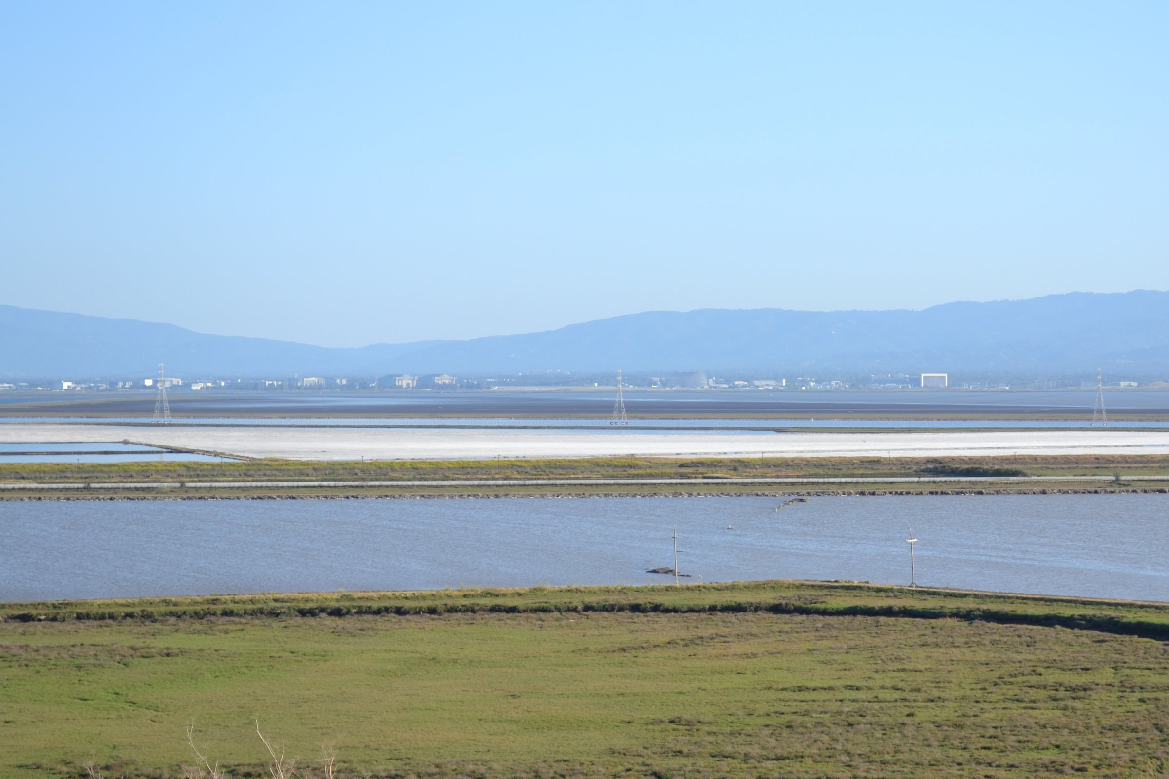
The Don Edwards San Francisco Bay National Wildlife Refuge, where the Mountain View and Ravenswood ponds are being restored. — Photo: Oleg Alexandrov / Wikimedia Commons, CC BY-SA 3.0
Salt Where the Marsh Was
Before the 20th century, tidal marsh lined the South Bay, softening storms and tides and feeding fish and wildlife. Over that century, about 85 percent of San Francisco Bay’s wetlands, more than 150,000 acres, were lost to development. Much of the South Bay shore became commercial salt ponds.
In 2003, in a deal brokered by the late Sen. Dianne Feinstein, 15,100 acres of those ponds were acquired from Cargill. It was the largest single purchase in a regional campaign to restore 40,000 acres of tidal wetlands. The South Bay Salt Pond Restoration Project, a partnership of federal, state and local agencies, has been reopening the ponds to the tides in phases since then. It breached a 300-acre pond in the Ravenswood complex near Menlo Park in December 2023. A2W followed this year.
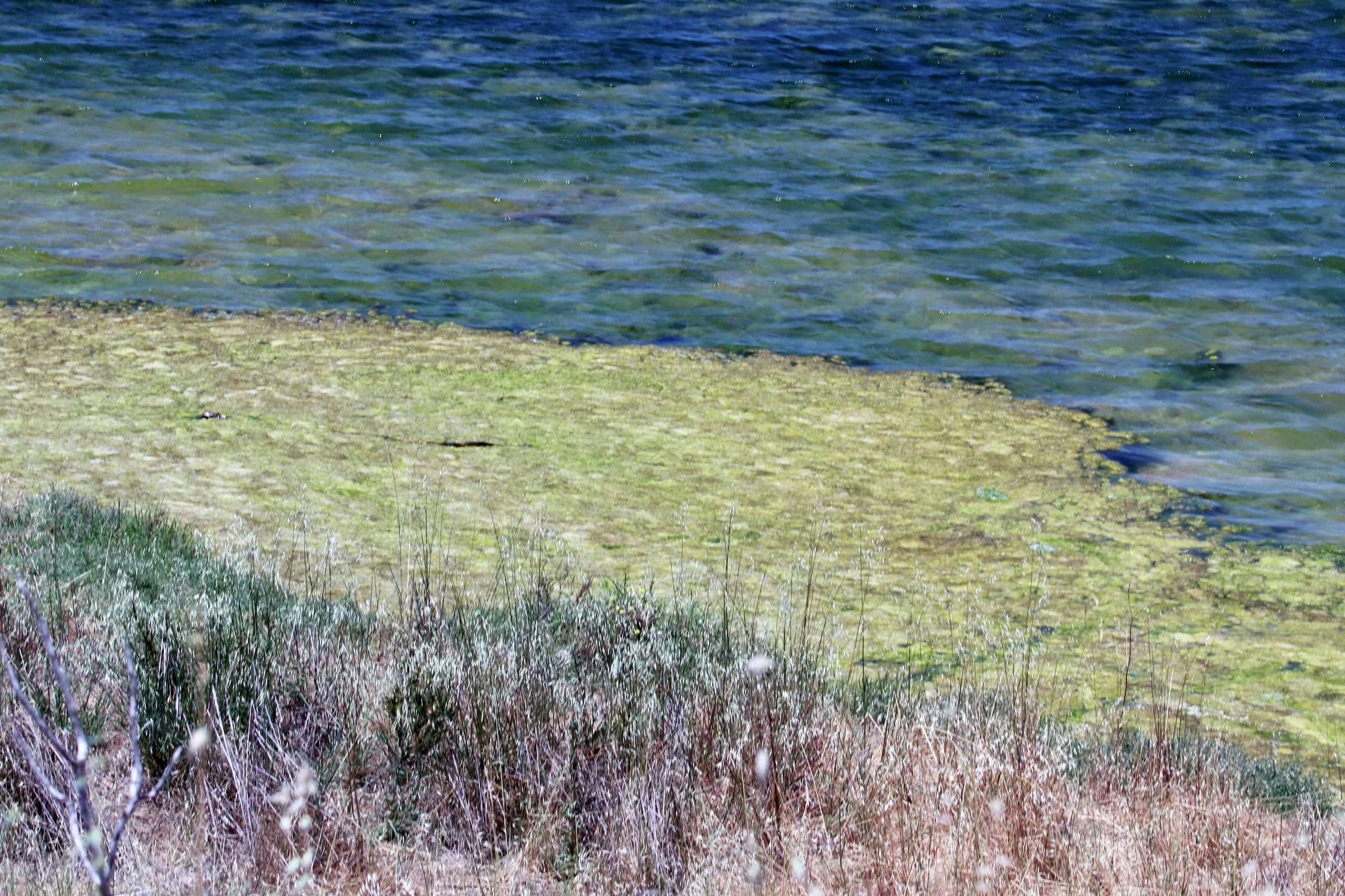
Salt marsh at Shoreline Park in Mountain View, June 2018. The restored ponds A2W and A1 border the park. — Photo: S.G.S. / Wikimedia Commons, CC BY-SA 4.0
Next door, work has begun on a 275-acre pond called A1, with much of the construction cost paid by Google. The company has been based in Mountain View for more than 25 years. Construction is expected to finish in 2028. The project will also measure how much carbon the new marsh stores. “Google’s generous support demonstrates the importance of this kind of project, both locally, in terms of habitat restoration and improvements to public access and shoreline resilience, and globally, in terms of the carbon sequestration benefits we expect in the coming years,” said Dave Halsing, the restoration project’s executive project manager.
The new marshes are meant to bring back wildlife as well as protect the shore. Visitors will be able to watch A2W become “a verdant and vibrant marshland and future home for endangered California Ridgway’s rails and salt marsh harvest mice,” said Rachel Tertes, a biologist with the U.S. Fish and Wildlife Service.
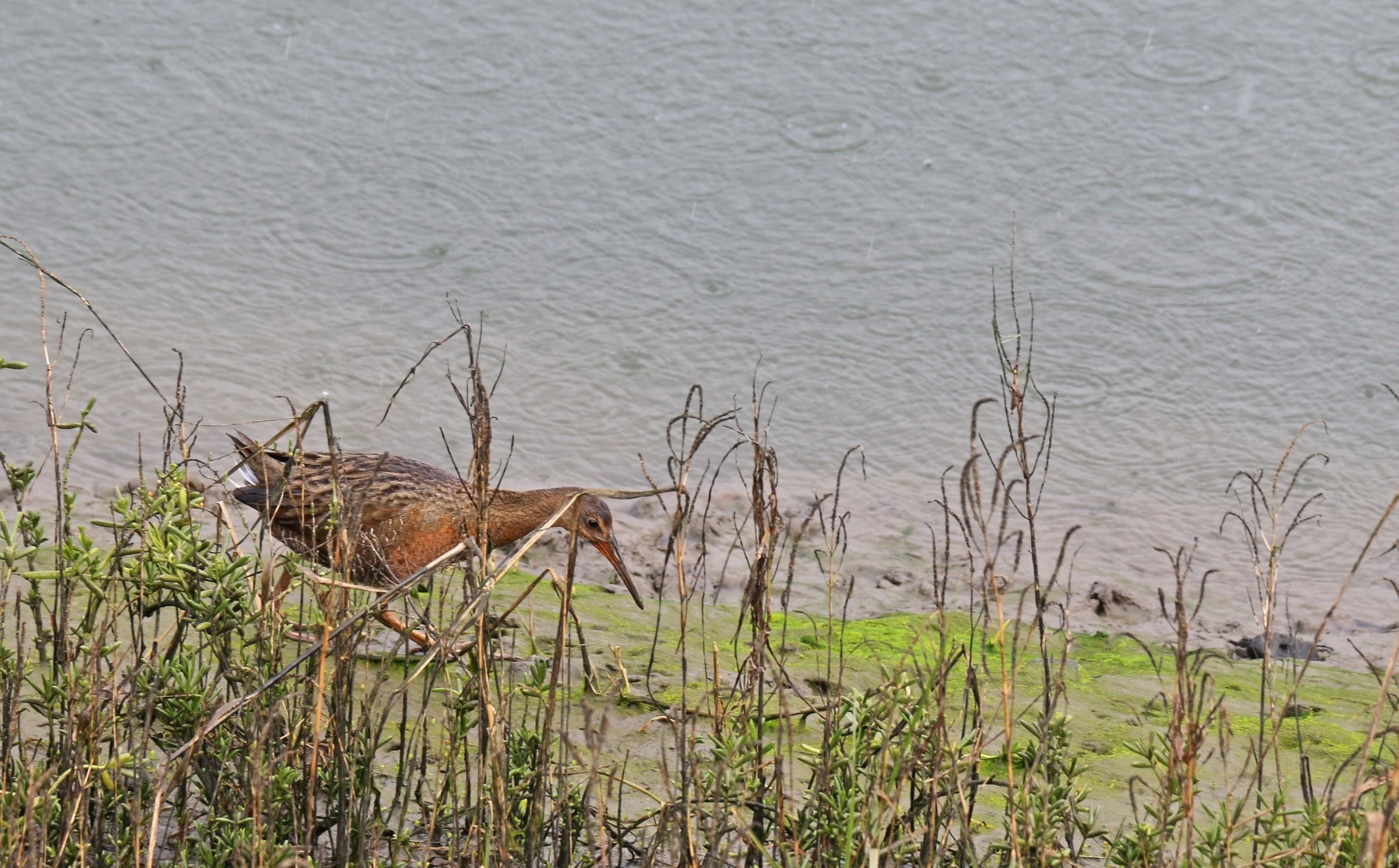
A federally endangered Ridgway’s rail hunts at the edge of a marsh. — Photo: Joanna Gilkeson / U.S. Fish and Wildlife Service (public domain)
On the east side of the Bay, the work at Eden Landing Ecological Reserve, near Hayward and Union City, is getting closer. On Sept. 17, the same day as the BCDC briefing, the State Coastal Conservancy considered a staff recommendation to send up to $10,055,692 to Ducks Unlimited for the job. The plan would breach the four largest ponds, 1,300 acres, to the tides. Seven others, 800 acres, would be kept as managed ponds for waterfowl and shorebirds. Levees would be raised where needed so nearby neighborhoods face no added flood risk, and the work is planned to be finished in 2030.
Much of this work depends on a ballot measure. On June 7, 2016, voters across the nine Bay Area counties approved Measure AA with 70 percent of the vote. It is a $12-a-year parcel tax that raises about $25 million a year for twenty years. The San Francisco Bay Restoration Authority, which hands out the money, has authorized $159 million so far.
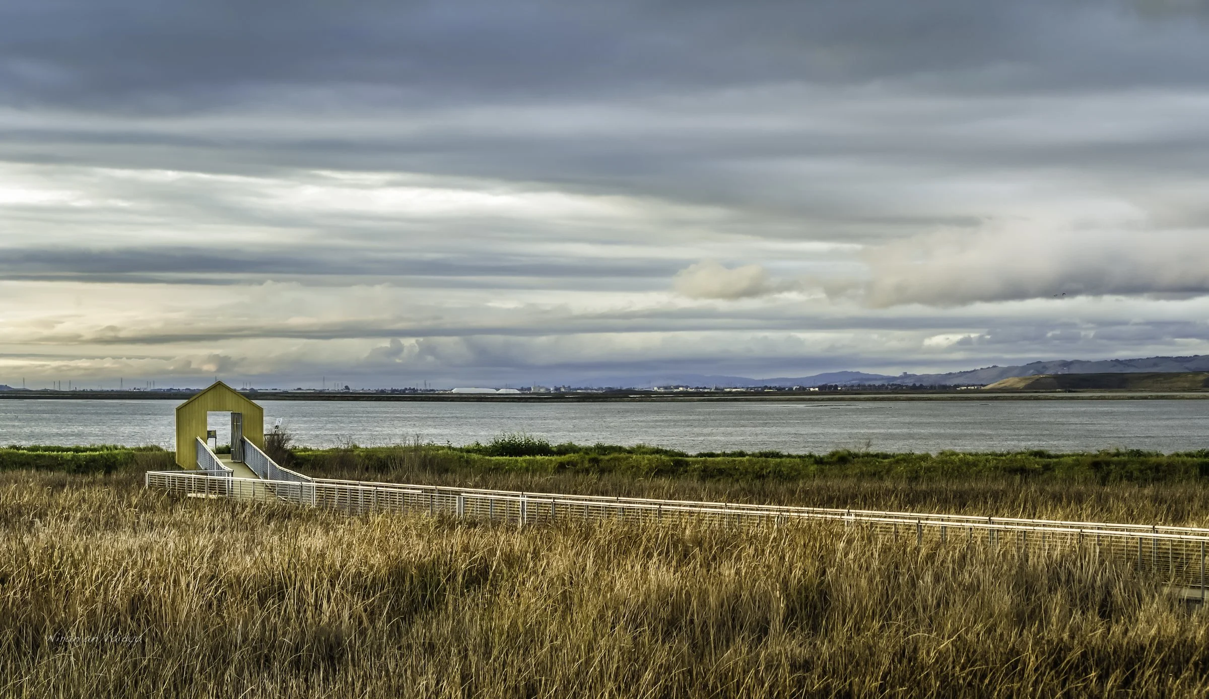
Alviso Marina County Park at sunset. A new levee now protects Alviso and North San José from the Bay. — Photo: Wanderenvy / Wikimedia Commons, CC BY-SA 3.0
At Alviso, the town at the southern tip of the Bay, the marsh is being paired with a levee. The South San Francisco Bay Shoreline Project, led by the U.S. Army Corps of Engineers with Valley Water and the Coastal Conservancy, finished the first three reaches of a flood-protection levee in the fall of 2025. The levee is built to an elevation of 15.2 feet and protects North San José, Alviso and a regional wastewater plant. Valley Water says the full first phase will protect more than 1,000 residential buildings and allow 2,900 acres of tidal marsh to be restored. Measure AA contributed $61 million. Work on a habitat slope against the levee at ponds A12 and A13 is scheduled to begin this fall.
Can the Marsh Keep Up?
The case for marsh is practical. As the restoration project puts it, tidal marshes “help absorb flood waters and buffer against sea level rise,” and they protect the levees behind them from waves and storm surge. They can also grow. Once a marsh is established, it traps sediment and builds itself higher, as long as the Bay carries enough mud. The project points to studies showing that South Bay marshes “remained intact, even between 1940 and 1960,” while the sea was rising and the land was sinking fast.
The question is how far that will go. In 2025, U.S. Geological Survey scientists working for the Fish and Wildlife Service and the restoration project modeled the future of marshes in the Don Edwards refuge. They took soil cores from eight marsh parcels and modeled four of them under four sea-level scenarios. Every marsh survived the low scenario. Under the Intermediate scenario, about one meter of rise by 2100, all four persisted, though two shifted from high marsh to low marsh. Under the High scenario, about two meters, three of the four were projected to lose their vegetation by the end of the century. Only the marsh at Guadalupe Slough remained vegetated.
“This study highlights marsh resilience under low or modest SLR projections, primarily due to high sediment availability and accretion rates, but vulnerability under higher rates of SLR.” —U.S. Geological Survey, 2025 study of South Bay tidal marshes
The authors called long-term monitoring “critical to understand SLR vulnerability as the estuary conditions continue to change.” In other words, marsh buys time. How much time depends on how fast the water rises, which depends in turn on decisions made far from the Bay.
That is why the region is also testing new designs. In Palo Alto this year, the city finished the first horizontal levee in the Bay Area connected to the Bay’s tides. The project is a nature-based alternative to a conventional levee, planted with native vegetation and irrigated with treated wastewater, and its monitoring is meant to “inform future nature-based solutions to sea level rise around the Bay Area,” according to the city.
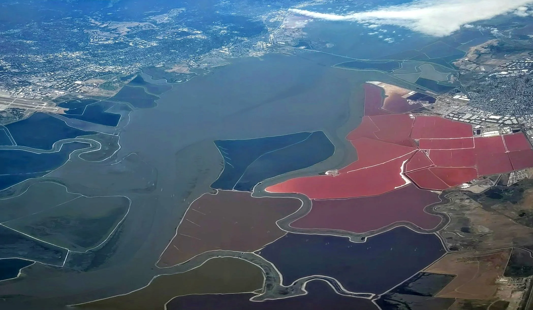
The South Bay’s salt ponds and wildlife refuges from the air, on takeoff from San José, May 2019. — Photo: Dicklyon / Wikimedia Commons, CC BY-SA 4.0
An Older Shoreline
The Bay’s edge has never stood still, and the people who lived along it have dealt with that before. During the last ice age, the area that is now San Francisco Bay was a set of river valleys above sea level. According to the environmental study for the salt pond project, the Bay began filling around 10,000 to 11,000 years ago as glaciers melted. The sea rose quickly until about 6,000 years ago, then more slowly. The same study notes that some known shellmounds, the built-up places that Ohlone ancestors created along the shore over thousands of years, stand partly below today’s sea level. That means they were begun when the water was lower.
The Tribe describes its ancestors as land managers who “hunted, fished, harvested marine resources as well and hundreds of plants.” The salt pond study describes what the Eden Landing shore probably offered: waterfowl and small fish in the sloughs, shellfish on the mudflats, and tules and sedges for houses and baskets. The tules were also bound into boats, called balsas, for crossing the Bay. The salt that formed in natural tidal ponds was collected for food and traded with peoples inland.
The study places Eden Landing in the territory of the Yrgin. The historian Randall Milliken concluded that the Yrgin and the Jalquin were most likely a single tribal group, and that in early 1802, “twenty-one Jalquin/Yrgin families moved to Mission San Francisco.” Charlene Nijmeh, chairwoman of the Muwekma Ohlone Tribe and president of this Foundation, represents the eighth generation of a direct matrilineage back to ancestors from the Jalquin/Yrgin and other Bay Area tribes who were missionized into Missions San Francisco and San José.
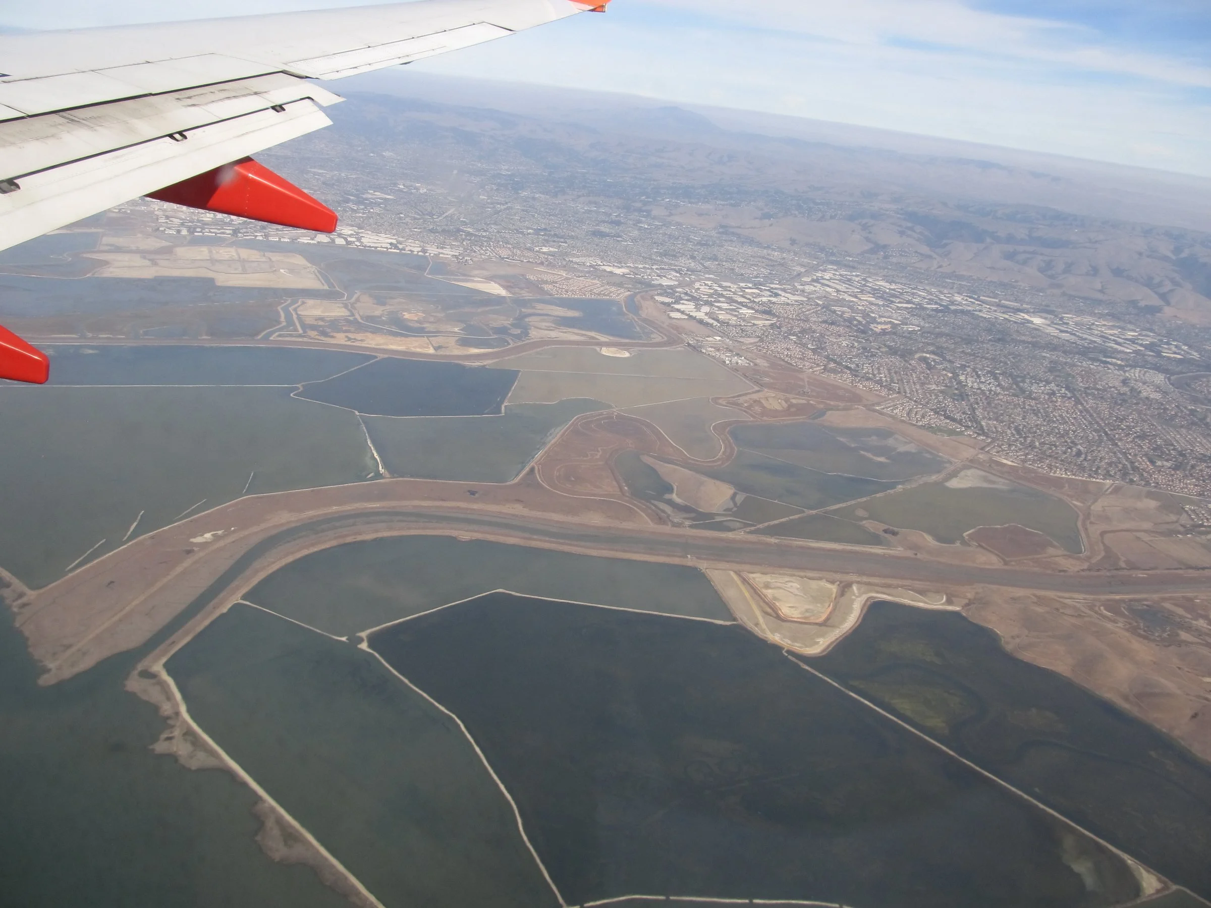
Eden Landing Ecological Reserve, between Hayward and Union City, seen from an airplane in 2013. Up to 1,300 acres here are slated to return to the tides. — Photo: Ken Lund / Wikimedia Commons, CC BY-SA 2.0
The connection to the South Bay shore continued after the missions. The Tribe’s published history records that in 1844, a Mission Santa Clara Ohlone man named Lope Yñigo received title to Rancho Posolmi, nearly 1,700 acres “around present-day Moffett Field near Mountain View.” In 1845, Rancho Ulistac, a land grant of 2,270 acres near Alviso, went to three Mission Santa Clara Indian men, Marcello, Pio Guatus and Cristobal. Its land “included the bay shore of the present-day cities of Santa Clara and Alviso.”

The salt marsh harvest mouse depends on pickleweed in tidal marshes. Restored marsh at A2W is meant to become its habitat. — Photo: Bjorn Erickson / U.S. Fish and Wildlife Service (public domain)
A Seat at the Shoreline
Today’s planning rules reflect some of this history. In September 2025, the California Natural Resources Agency updated its tribal consultation policy. It calls for early and meaningful consultation with federally recognized tribes, and with tribes that are not federally recognized “as appropriate.” The Muwekma Ohlone Tribe is in the second group. It is not currently federally recognized and is working to regain that status, as a 2024 study co-authored by the Tribe’s Monica V. Arellano notes. BCDC adopted its own addendum to the policy. It says that when BCDC reviews each local sea-level rise plan, staff will check whether the plan meets the requirements for tribal consultation.
The San Francisco Bay Restoration Authority, which distributes the Measure AA money, adopted its own tribal consultation policy in March 2026. On its website, the authority acknowledges what was taken.
“We recognize that tribes have experienced state sanctioned violence and racism that have excluded them from the San Francisco Bay shoreline.” —San Francisco Bay Restoration Authority
The authority goes on to say that fair access to its programs can “protect cultural resources, institute traditional stewardship, and fund more projects led by tribes along the San Francisco Bay shoreline.”
The Foundation’s own Land Acquisition Committee works toward the same goal from a different direction. Its aim is to return land to Muwekma Ohlone stewardship and to “protect essential watersheds, wetlands, and migration routes, enhancing biodiversity and climate resilience.”
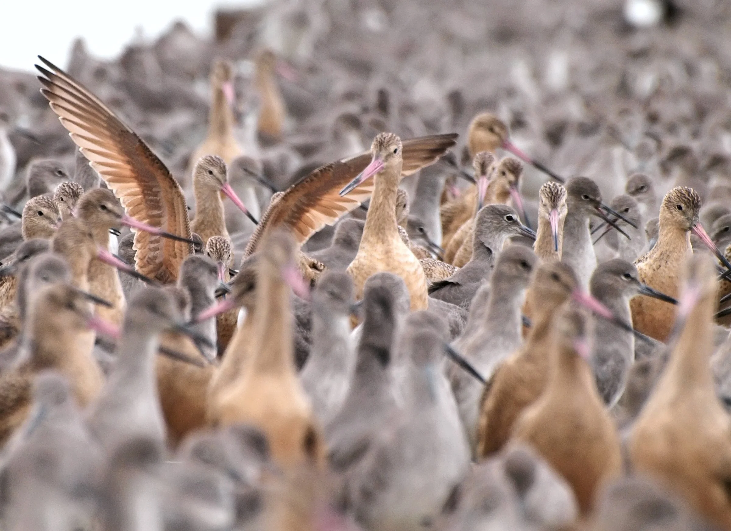
Willets and marbled godwits crowd together at Arrowhead Marsh in Oakland, October 2009. — Photo: Ingrid Taylar / Wikimedia Commons, CC BY 2.0
What the Water Asks
Over the next several years, most of this work will happen in meetings. Consultants will draw maps of what floods first. City councils will decide which roads, neighborhoods and sewage plants to defend, and where marsh should have room to move inland. Santa Clara County’s plan is expected in 2029, and the regional deadline comes in 2034. Each plan will need a section on tribal consultation, and each will be checked against it.
On the South Bay shore, the tides are already working at A2W and soon will be at A1. When the levees are opened at Eden Landing, they will reach a shore in Yrgin territory, a place where Ohlone people are thought to have gathered salt from tidal ponds and crossed the water in tule boats. The Bay is coming back to land that was tidal marsh long before it was anything else. The question for the rest of the region is whether it will plan for that, and whether the people whose ancestors lived on this shore will help decide how.
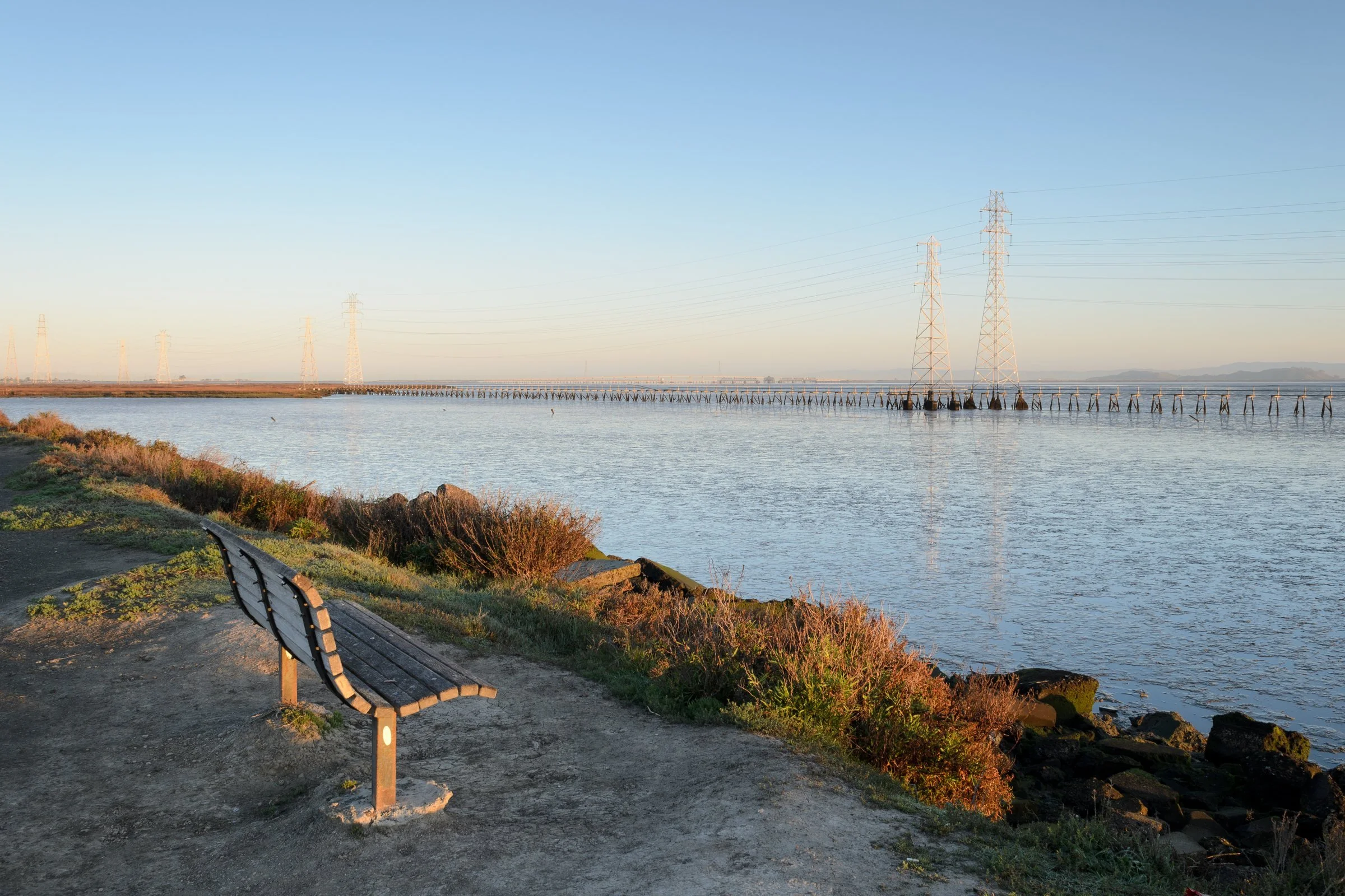
Early morning at the Palo Alto Baylands. The city completed a pilot horizontal levee nearby in 2026. — Photo: King of Hearts / Wikimedia Commons, CC BY-SA 4.0
Editor’s note: Charlene Nijmeh, chairwoman of the Muwekma Ohlone Tribe, is president of the Muwekma Ohlone Preservation Foundation, which publishes this newsletter. The Land Acquisition Committee quoted here is part of the Foundation. All quotations in this article come from previously published sources, listed in the accompanying source notes.